Drone & Thermal Roof Inspection in Greenville
Drone & Thermal Roof Inspection in Greenville
Aerial and infrared drone roof inspections in Greenville, SC. We map trapped moisture on large low-slope roofs, document storm damage for insurers, and keep crews off unsafe decks.
Seeing a Whole Greenville Roof Without Walking It
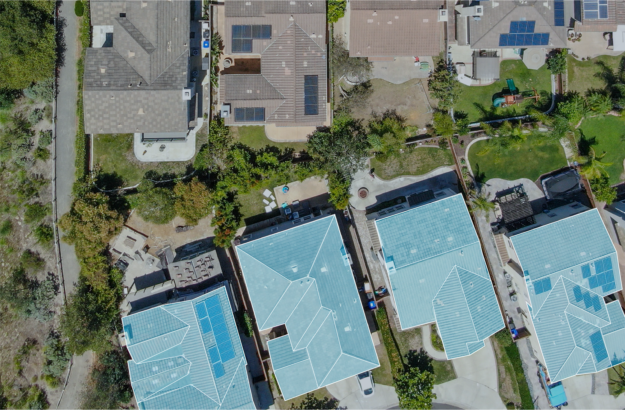
The distribution buildings around the Greenville-Spartanburg International Airport and the I-85 logistics belt routinely carry roofs of well over a hundred thousand square feet. The plants along the Augusta Road industrial stretch and the big retail boxes on Woodruff Road are not far behind. On rooftops that size, the old approach of walking the whole field on foot takes a crew most of a day, misses the low spots where water actually sits, and grinds foot traffic into a membrane that is already aging. We fly those roofs instead. A drone with a 4K camera and a calibrated thermal sensor covers the entire surface in a fraction of the time, produces a complete image record, and never asks a technician to stand on a deck whose condition we have not confirmed yet.
Thermal Imaging Finds the Water You Cannot See
The single most valuable thing an aerial inspection does on a low-slope Greenville roof is locate trapped moisture inside the insulation. Wet insulation holds the day's heat longer than the dry material around it. Fly the roof during the cool-down window after sunset and that saturated insulation glows on the infrared image as distinct, mappable zones, even when the membrane surface above looks perfectly intact. We confirm the flagged areas with a few targeted core cuts rather than guessing. That moisture map is what tells us whether you are looking at a contained repair, a recover, or a full tear-off, and it is information a visual walk simply cannot produce on a roof this large.
Storm Documentation Insurers Will Accept
The Upstate takes its share of severe convective storms rolling in off the Blue Ridge escarpment, and hail and straight-line wind events drive a steady stream of commercial claims through Greenville County. After a storm we put up the drone and capture GPS-tagged imagery across the whole roof: hail impact density and where it concentrates, wind-lifted or displaced membrane, dented or torn edge metal, and damaged rooftop equipment. Adjusters can review that record remotely, and we assemble it into the documentation format commercial carriers expect. For a contested claim, the aerial evidence gives you a defensible, time-stamped basis for what was actually up there.
Commercial drone work is not hobby flying. Our flights operate under FAA Part 107 rules, with a certificated remote pilot in command, and we account for the controlled airspace around GSP and the smaller downtown and county fields before we ever launch. We check weather windows, keep the aircraft within the required visual line of sight, and stage the flight so we are not putting equipment over occupied parking or traffic. None of that is paperwork for its own sake; it is what keeps an inspection from becoming a liability of its own.
Why Aerial Beats a Foot Survey on Big Roofs
- Coverage. The drone flies a consistent grid at a fixed altitude, so every drain basin, seam, and penetration gets the same systematic look instead of whatever a tired crew remembers to check.
- No membrane wear. Foot traffic abrades and punctures aging single-ply. Flying the roof keeps people off it entirely until we know it is sound.
- The moisture map. Thermal scanning at scale is only practical from the air. It is the difference between patching a leak you can see and finding the saturated insulation feeding it.
- Speed under deadline. When a claim clock is running or a sale is pending, a full-roof aerial record beats a multi-day walk-and-sketch every time.
Better Reroof Specs, Fewer Change Orders
Before we put a reroof proposal in front of an owner, a drone pass confirms the actual roof area, locates every penetration and equipment curb, and documents existing conditions for the specification. When the design is built on what is genuinely on the roof instead of assumptions from a ground-level look, the RFIs and change orders that blow up commercial roofing budgets drop sharply. That accuracy matters most on the multi-building campuses and phased industrial sites around Greenville, where one missed rooftop unit can cascade into a scope dispute.
Where Drone Inspection Earns Its Keep
This is at its most useful on large flat commercial roofs: warehouses, distribution centers, manufacturing plants, retail centers, office complexes, and multi-building campuses. On a small or steeply pitched roof a person can inspect quickly and completely, and a flight adds little. As a rule of thumb, any commercial roof past roughly ten thousand square feet that needs a real condition assessment is a better candidate for the air than the foot.
Questions Greenville Owners Ask
How is a drone inspection different from someone walking the roof?
The drone covers the entire field on a fixed grid and builds a complete photographic record without anyone abrading the membrane. On a large roof a foot survey eats hours and still misses the low spots where water pools. And full-roof thermal scanning, the part that finds hidden moisture, is really only practical from the air.
Can thermal imaging actually show where moisture is trapped?
Yes, in the right window. We fly during the cool-down after sunset, when saturated insulation that held the day's heat reads warmer than the dry material around it. That contrast maps the wet zones clearly enough to drive the repair-versus-replace decision, and we verify with core cuts before committing to a scope.
How do you use the footage for an insurance claim?
We deliver a GPS-tagged report covering hail impact density, wind damage patterns, edge-metal and equipment damage, and overall membrane condition, formatted the way commercial carriers want it so it can go straight to the adjuster. For disputed claims we can back it with an expert statement built on the aerial record.
Are the flights legal near the Greenville airport?
They are. We fly under FAA Part 107 with a certificated pilot and clear the controlled airspace around GSP and the county fields before launch, while keeping the aircraft in required visual line of sight and clear of occupied areas.
What kind of roofs are worth flying?
Large low-slope commercial roofs get the most out of it: warehouses, plants, retail centers, office and campus buildings. Small or steep roofs a person can cover fast, so a flight adds little. Past about ten thousand square feet, the air is usually the smarter call.
Request Roof Walk